
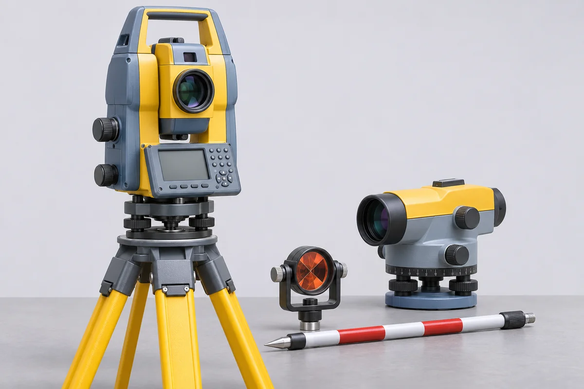
Identify the survey instrument and task
When an asset register says only survey instrument, add the manufacturer, model, serial number and measured quantity. Explain whether the equipment sets out positions, transfers levels or measures distance. Include the previous report and the customer requirement. A generic equipment name is insufficient to select a reference method, and the requested certificate should identify the actual functions assessed.
Total station functions
For a total station, separate angle measurement from electronic distance measurement and any additional positioning features. List the prism or reflector, tribrach and controller used. Include the measurement modes and working distances required by the procedure. A distance result with one reflector arrangement should not be assumed to cover every prism setting, reflectorless target or angular characteristic of the instrument.
Theodolite and digital theodolite
A theodolite or digital theodolite enquiry should identify the horizontal and vertical angle indications, units and the requested checks. Include any compensator and the mounting arrangement used. Send the existing adjustment record when available, but specify the independent measurement evidence required. A displayed zero or successful internal routine should not be presented as verification of all angle readings.
Auto level and staff
List the auto level, staff and any digital reading arrangement together. Identify the line-of-sight or levelling requirement and the procedure used by the survey team. Record the compensator type where known and include recent field-check observations. A check of the instrument and a measurement of the staff's graduations are separate items that need their own identification and reporting scope.
Dumpy level configuration
For a dumpy level, provide the model, telescope and levelling arrangement, together with the staff used in service. State the required line-of-sight or other measurement checks and the acceptance requirement. Note any observations from the team's existing field procedure. RTS will review the available method before accepting the instrument; a satisfactory bubble position alone does not establish the requested sighting performance.
Laser level planes and receiver
Identify whether the laser level projects a rotating plane, lines or points, and list the receiver used. Specify horizontal, vertical or slope functions separately. Give the working distance and mounting arrangement relevant to the task. The required check must refer to the projected feature and its reference; a result for one plane should not automatically cover every operating mode.
Laser distance meter references
For a laser distance meter, state the working distances, target type and measurement reference selected on the instrument. Include any extension foot, tripod mode or accessory used. Identify direct distance measurements separately from calculated areas, volumes or indirect heights. The enquiry should define the measured lengths and conditions needed, without treating every derived display function as an independently calibrated quantity.
Laser plummet centring
Say whether the laser plummet is a separate unit or part of another survey instrument. Identify the mounting, target distance and centring requirement. Include the tribrach or other fixture where it forms part of the assessed arrangement. A plummet check concerns the defined centring relationship; it does not substitute for the total station's angle or distance measurements.
Tripod and supporting equipment
A tripod supports the survey instrument and normally has no calibrated indication of its own. Record its condition, head arrangement and compatibility with the instrument. If a dimensional or stability assessment is required, supply a defined requirement rather than requesting a general calibration label. Keep the tripod's identity with the kit when the complete mounting arrangement is part of the agreed check.
Confirm the reporting route before dispatch
Survey measurement capabilities must be confirmed for the named equipment and requested functions. Do not infer them from general dimensional entries in CC-4643. Send the site location, kit list and required return date to RTS. For IMT Manesar or another Indian plant, identify the survey lead who can confirm reference settings and review the resulting records.